How LiDAR informs design
LiDAR Mapping for Permaculture Design
By Dr. Elaine's Soil Food Web School
Land design · Homesteads to ranches
Permaculture and Regenerative Land Design for Your Property
Before you dig, plant or fence, it helps to know how your land is shaped and where its water goes. EarthDesign turns that understanding into clear, practical plans you can carry out at your own pace.
A free first step
Start with a free contour map of your land
See how your land rises and falls. Request a 2D contour map, personally reviewed by David and delivered by email.
Request my free contour mapUsually within a few business days. Availability and suitable detail depend on your property.
Who this is for
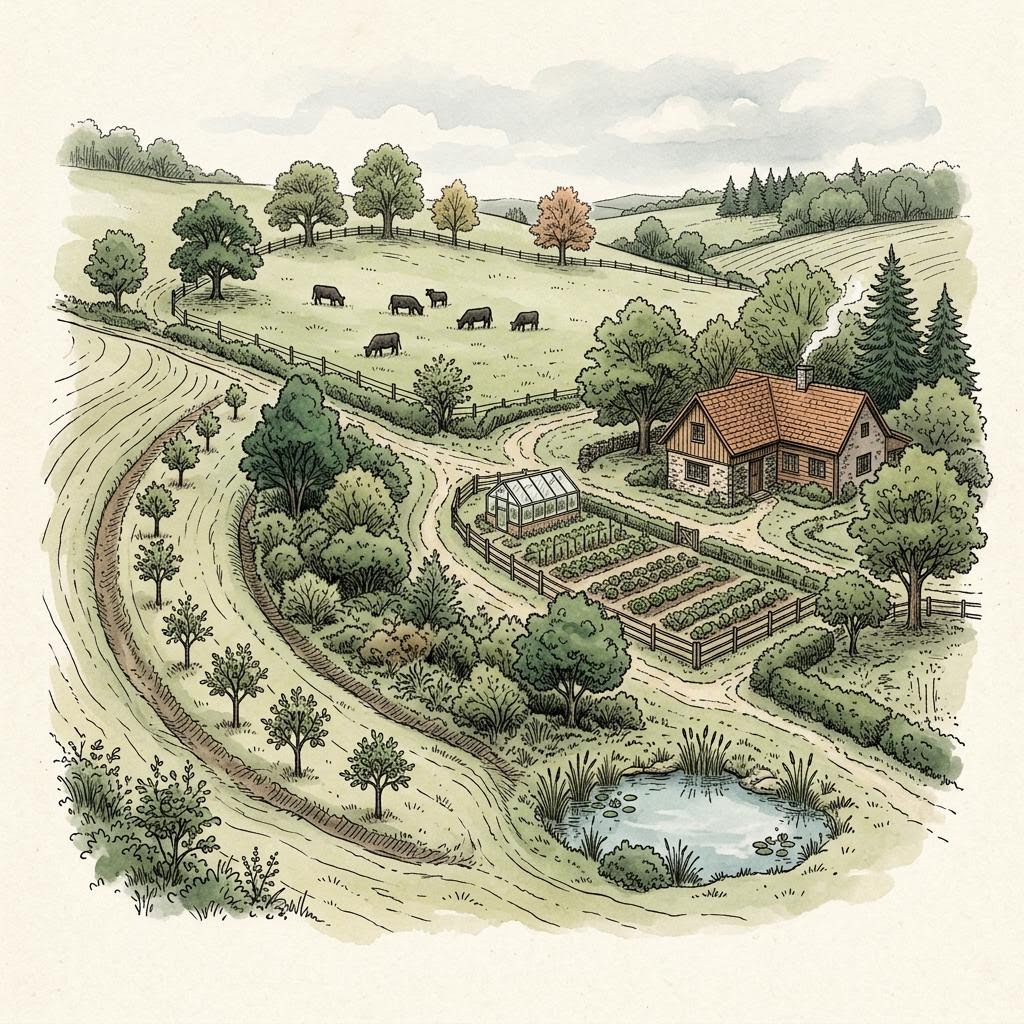
Every scale of land deserves a thoughtful plan
- Backyard gardenersA small yard, a big wish list, and trees that will outgrow their spot.
- HomesteadersGardens, animals, water and buildings that need to work as one place.
- FarmersTree rows, cover, runoff and fields that have to keep producing.
- RanchersShade, shelter, water points and grazing spread across real terrain.
Start with your question
What is happening on your land?
- Soil keeps washing downhill after stormsLearn · Water flow and erosion
- What is a food forest, and would one fit my yard?Learn · Food forests
- There is a wet area I do not understandLearn · Reading your terrain
- I want trees in my pasture for shadeLearn · Silvopasture
- We just bought land. Where do we start?Learn · LiDAR maps
- Would a swale or pond help here?Learn · Earthworks and swales
Services
Plans that build on each other
- 01Backyard Food Forest DesignA planned, layered planting for one garden area of a quarter acre or less: trees, shrubs, herbs and groundcovers placed with their mature size, your water flow and your climate in mind.
- 02LiDAR Topographic Maps for Land PlanningBefore you choose a garden, pond, fence line or orchard block, explore a model of the ground from available terrain data. This is step one of the Land Journey and the foundation every later plan builds on. Suitable detail depends on the property and intended use.
- 03Water Flow and Erosion Planning for Your LandWater goes where the terrain sends it. The Water Story maps flow paths, catchments and likely pooling so you can plan around them instead of discovering them after a storm.
- 04Earthworks and Keyline PlanningSome land benefits from shaping water with earth: on-contour swales, a pond in the right draw, check dams in a gully, or a keyline pattern across a field. Some land does not. This plan starts by finding out which applies to yours.
- 05Regenerative Land Design for Homesteads, Farms and RanchesThe Living Master Plan brings the earlier steps together: plantings, guilds, agroforestry and grazing placed on your mapped terrain and water, with species shown at mature scale.
Land design, tailored to your location
Where we work
Contiguous United States
Our most established service area. David reviews the available mapping and your project goals to recommend the right approach for your land.
Alaska, Hawaii and Puerto Rico
Contact David for an individual property review. Available mapping and services can differ from those in the contiguous United States.
Selected international locations
We welcome project inquiries in these locations. Available services and map detail depend on your property.
- Switzerland
- Netherlands
- England and Wales
- FranceMetropolitan France only
- SpainTerrain detail varies; ask about your property
- New Zealand
- CanadaBritish Columbia only
- ScotlandLimited Outer Hebrides survey area only
Other locations: ask about your property
Don't see your location? Tell David where your land is and what you hope to do. Colombia is a potential pilot location, not an established detailed-design service area.
Understanding your land
- LiDAR and terrain mapping
- Understand your land's shape with LiDAR-derived elevation mapping, including 1-metre resolution where suitable data are available. Other elevation data may be used where LiDAR is unavailable. Resolution describes data spacing, not measurement accuracy; finer contour lines do not guarantee finer accuracy. These are planning maps, not boundary surveys or certified construction documents.
- Understanding your soil
- Mapped soil information and modeled estimates help identify patterns across your land. They are not soil tests from your property; local testing may be needed before planning infiltration, earthworks or planting.
- Climate and local conditions
- Regional climate records help inform your plan. Your observations add important detail about frost pockets, wind, coastal influences and other local conditions that regional records may miss.
- A plan suited to your property
- David considers your goals alongside the available information before recommending a design approach. Ponds, swales and other earthworks may need field testing, a local survey or licensed professional advice.
Availability and map detail depend on your property. Contact David to discuss your land and project.
The person behind your plan
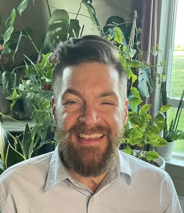
Meet David
David Sussberg is a permaculture land designer and regenerative agriculture educator with nearly two decades of experience supporting farmers, homesteaders and land stewards. Through EarthDesign he combines hands-on agricultural experience with LiDAR mapping and ecological planning to help you make informed decisions about water, soil, food forests and productive growing systems.
Get land-design tips + EarthDesign updates.
Occasional practical notes on terrain, water, food forests, and making confident decisions before the work begins.
Learn
Understand your land before you make changes
- What Is Permaculture Design?7 min
- What Can LiDAR Tell You About Your Land?6 min
- What Is a Food Forest? How It Compares With an Orchard8 min
- What Is a Plant Guild?5 min
- Why Land Hydrology Matters: How Water Moves Across Your Property8 min
- What Are Earthworks and Contour Swales?7 min
- What Is Silvopasture? Trees, Forage and Livestock Together7 min
- How to Read the Contour Lines on Your Property Map6 min
Ready to understand your land?
Start with a reviewed contour map, or talk with David about the next step for your property.
EarthDesign is a digital design and visualization platform. Outputs are advisory; site execution, regulatory permits, and licensed professional sign-offs remain the responsibility of the client and their licensed contractors. No warranty of fitness for a particular purpose is made, expressed, or implied.
Read the full Terms of Service & Disclaimers.