How LiDAR informs design
LiDAR Mapping for Permaculture Design
By Dr. Elaine's Soil Food Web School
Land design · Homesteads to ranches
Permaculture and Regenerative Land Design for Your Property
Before you dig, plant or fence, it helps to know how your land is shaped and where its water goes. EarthDesign turns that understanding into clear, practical plans you can carry out at your own pace.
A free first step
Start with a free contour map of your land
See how your land rises and falls. Request a 2D contour map, personally reviewed by David and delivered by email.
Request my free contour mapUsually within a few business days.
Who this is for
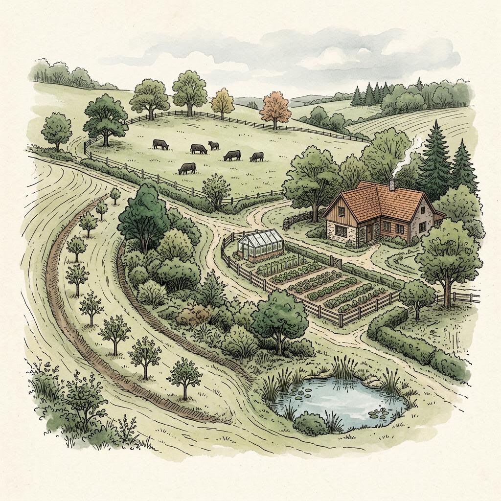
Every scale of land deserves a thoughtful plan
- 01
Backyard gardeners
A small yard, a big wish list, and trees that will outgrow their spot.
- 02
Homesteaders
Gardens, animals, water and buildings that need to work as one place.
- 03
Farmers
Tree rows, cover, runoff and fields that have to keep producing.
- 04
Ranchers
Shade, shelter, water points and grazing spread across real terrain.
Start with your question
What is happening on your land?
Services
Plans that build on each other
- 01Backyard Food Forest DesignA planned, layered planting for one garden area of a quarter acre or less: trees, shrubs, herbs and groundcovers placed with their mature size, your water flow and your climate in mind.
- 02LiDAR Topographic Maps for Land PlanningBefore you choose a garden, pond, fence line or orchard block, see the actual shape of the ground. This is step one of the Land Journey and the foundation every later plan builds on.
- 03Water Flow and Erosion Planning for Your LandWater goes where the terrain sends it. The Water Story maps flow paths, catchments and likely pooling so you can plan around them instead of discovering them after a storm.
- 04Earthworks and Keyline PlanningSome land benefits from shaping water with earth: on-contour swales, a pond in the right draw, check dams in a gully, or a keyline pattern across a field. Some land does not. This plan starts by finding out which applies to yours.
- 05Regenerative Land Design for Homesteads, Farms and RanchesThe Living Master Plan brings the earlier steps together: plantings, guilds, agroforestry and grazing placed on your mapped terrain and water, with species shown at mature scale.

The person behind your plan
Meet David
David Sussberg is a permaculture land designer and regenerative agriculture educator with nearly two decades of experience supporting farmers, homesteaders and land stewards. Through EarthDesign he combines hands-on agricultural experience with LiDAR mapping and ecological planning to help you make informed decisions about water, soil, food forests and productive growing systems.
Get land-design tips + EarthDesign updates.
Occasional practical notes on terrain, water, food forests, and making confident decisions before the work begins.
Learn
Understand your land before you make changes
- What Is Permaculture Design?7 min
- What Can LiDAR Tell You About Your Land?6 min
- Food Forest vs. Orchard: Which Fits Your Property?6 min
- What Is a Plant Guild?5 min
- What Are Earthworks and Contour Swales?7 min
- What Is Silvopasture? Trees, Forage and Livestock Together7 min
- How to Read the Contour Lines on Your Property Map6 min
Ready to understand your land?
Start with a reviewed contour map, or talk with David about the next step for your property.
EarthDesign is a digital design and visualization platform. Outputs are advisory; site execution, regulatory permits, and licensed professional sign-offs remain the responsibility of the client and their licensed contractors. No warranty of fitness for a particular purpose is made, expressed, or implied.
Read the full Terms of Service & Disclaimers.