Understand Your Land Before You Make Changes
Short, practical guides that answer the question first, then explain where the idea fits, where it does not, and where to read more. Free to read, no sign-up.
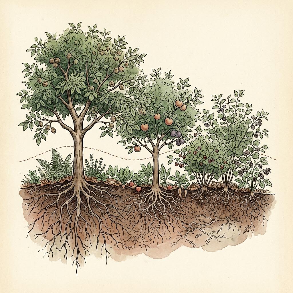
Foundations · 7 min read
What Is Permaculture Design?
Permaculture design is a planning approach that arranges water, soil, plants, animals and buildings so each supports the others, starting from careful observation of the land rather than a fixed template. In practice it is less a set of techniques than a sequence of decisions: understand the site, plan for water, place long-lived elements well, then fill in.
Mapping · 6 min
What Can LiDAR Tell You About Your Land?
LiDAR tells you the shape of the ground: slopes, ridges, draws, depressions and flat benches, often clearly enough to see old roads and gullies under tree cover. It does not tell you property lines, soil quality, current conditions after the flight date, or survey-grade elevations at a specific point.
Planting systems · 6 min
Food Forest vs. Orchard: Which Fits Your Property?
Choose an orchard if you want predictable harvests of a few crops with straightforward mowing, spraying and picking. Choose a food forest if you value diversity, habitat and a lower-input planting more than uniform yields. Many properties benefit from both: a production orchard block and a layered food forest near the house.
Planting systems · 5 min
What Is a Plant Guild?
A plant guild is a small, intentional grouping of plants, usually around one central fruit or nut tree, chosen so each plant contributes something: groundcover, mulch, pollinator food, pest habitat or a second harvest. Guilds are the building blocks of most food forest designs.
Water and landform · 7 min
What Are Earthworks and Contour Swales?
Earthworks are deliberate changes to the shape of the ground, such as ponds, swales, berms, terraces and check dams, usually made to slow, spread, store or redirect water. A contour swale is a level ditch with a mound on its downhill side, built along a contour line so water collects and soaks in rather than running off.
Agroforestry · 7 min
What Is Silvopasture? Trees, Forage and Livestock Together
Silvopasture is the deliberate integration of trees, forage and livestock on the same land, managed together so each benefits. It is not simply letting animals graze in existing woods: without planned tree spacing, forage management and controlled grazing, wooded grazing can damage trees, soil and water.
Mapping · 6 min
How to Read the Contour Lines on Your Property Map
Each contour line connects points at the same elevation. Lines close together mean steep ground; lines far apart mean gentle ground. Lines that bend into a V or U pointing uphill show a valley where water flows; lines pointing downhill show a ridge where water divides.
Go further
Ready to look at your own land?
EarthDesign is a digital design and visualization platform. Outputs are advisory; site execution, regulatory permits, and licensed professional sign-offs remain the responsibility of the client and their licensed contractors. No warranty of fitness for a particular purpose is made, expressed, or implied.
Read the full Terms of Service & Disclaimers.